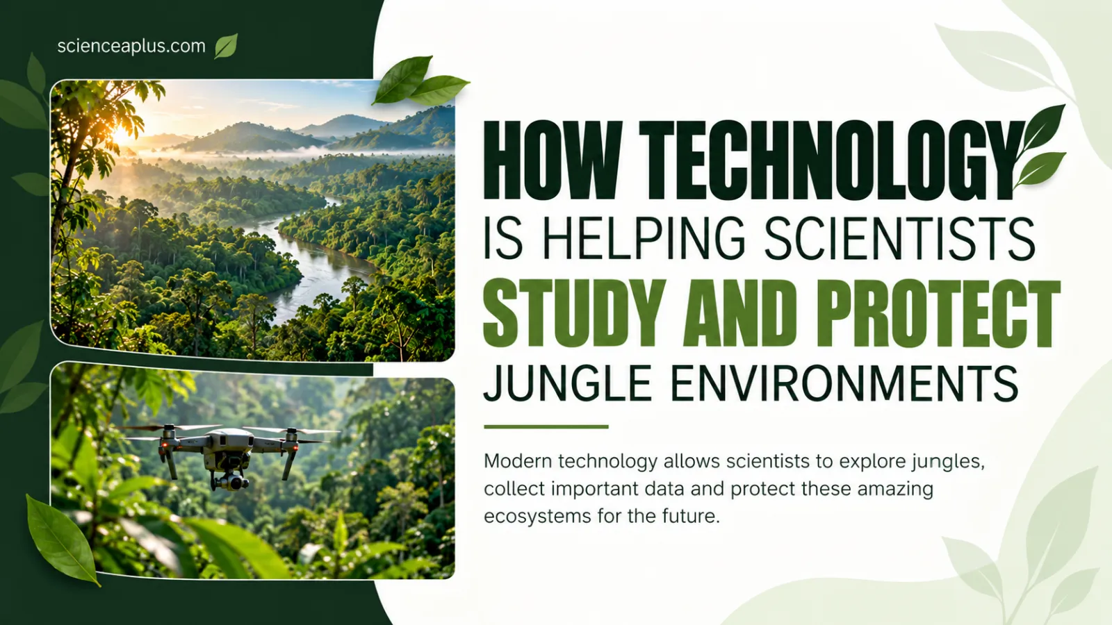
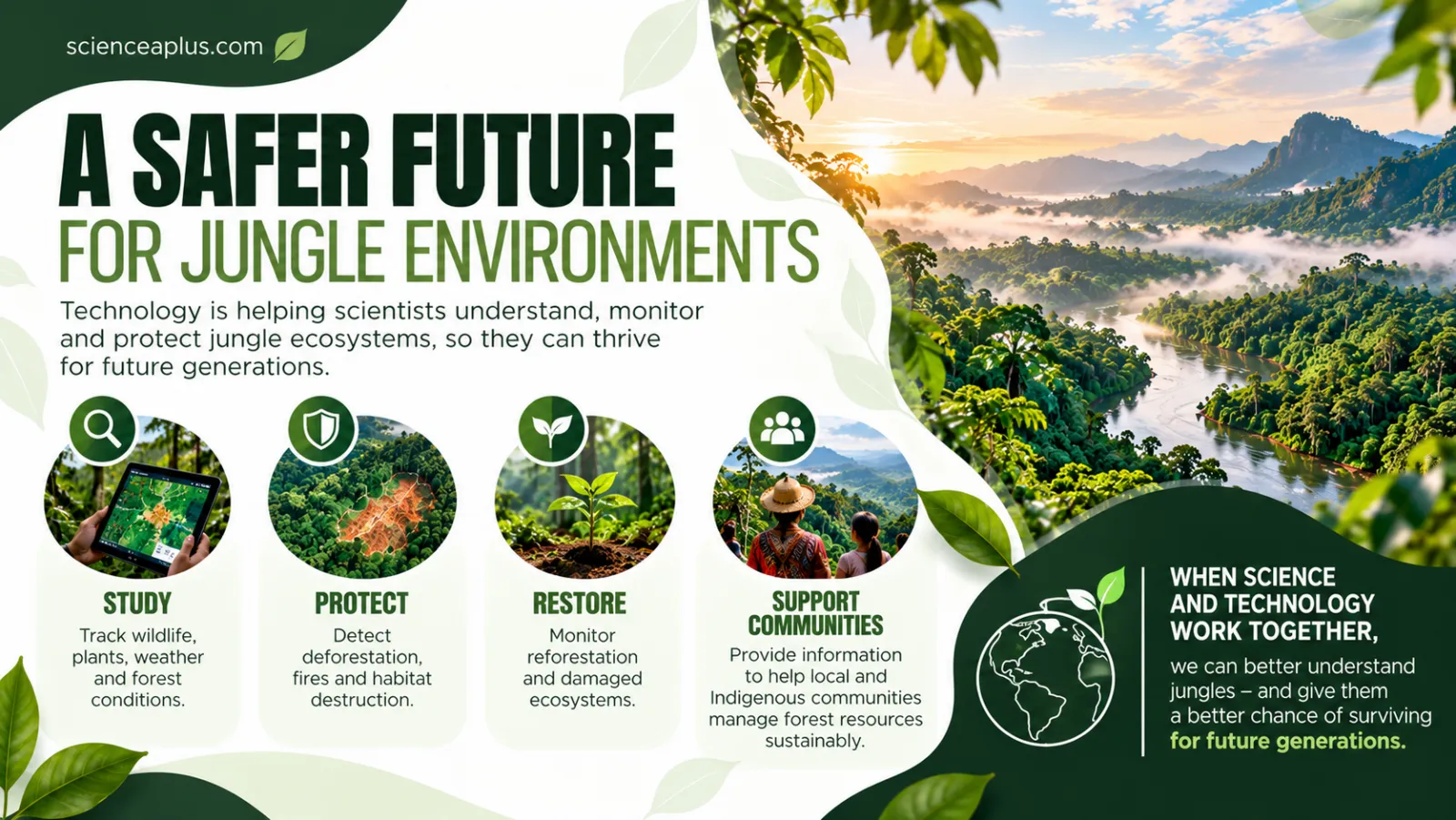
How does technology help scientists study and protect jungles? It lets them see, count and listen to a forest without walking through every part of it. Satellites watch whole countries, drones and lasers map the canopy, camera traps and microphones record shy animals, DNA tests identify species, and artificial intelligence sorts the flood of data. Together these tools turn a hard-to-reach jungle into something scientists can measure and defend.
Why jungles are so hard to study
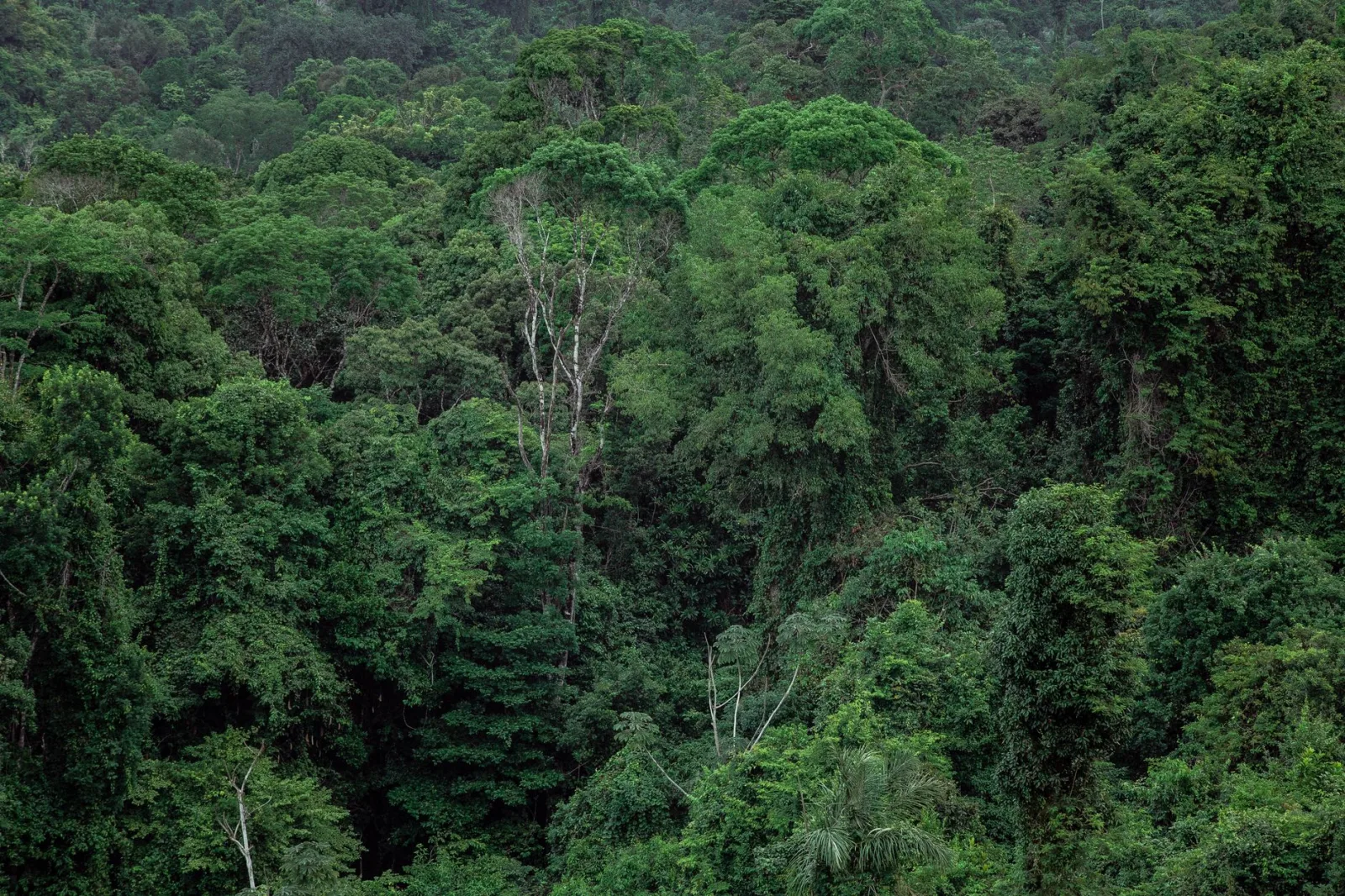
A jungle, or tropical rainforest, is one of the most crowded ecosystems on Earth. Thousands of species of plants, insects, birds and mammals share the same patch of forest, and many have never been formally described by science. That richness is exactly why the place is difficult to survey.
Think about the problems a field scientist faces. The trees can be tens of metres tall, so much of the life is in the canopy, far above the ground. The undergrowth is thick, the ground is wet, rivers are the only roads, and the weather is hot and humid. Many animals are nocturnal or simply hide when people are near. A single researcher on foot can only cover a tiny area in a day.
Old methods still matter. Walking transects, tagging trees and counting animals by sight give detailed, reliable data. But they are slow, expensive and limited to small plots. Technology does not replace this fieldwork. It extends the reach of scientists so that the same questions can be answered across a whole forest, year after year.
That matters because jungles are under pressure. Clearing land for farming and cattle, logging, mining, roads and fires all remove forest. To protect jungle biodiversity, scientists first need to know where the forest is, how healthy it is, what lives in it, and where it is changing. Each of the tools below answers one of those questions.
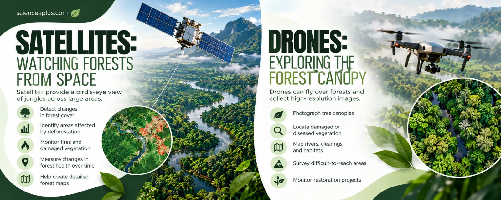
Satellites: watching forests from space
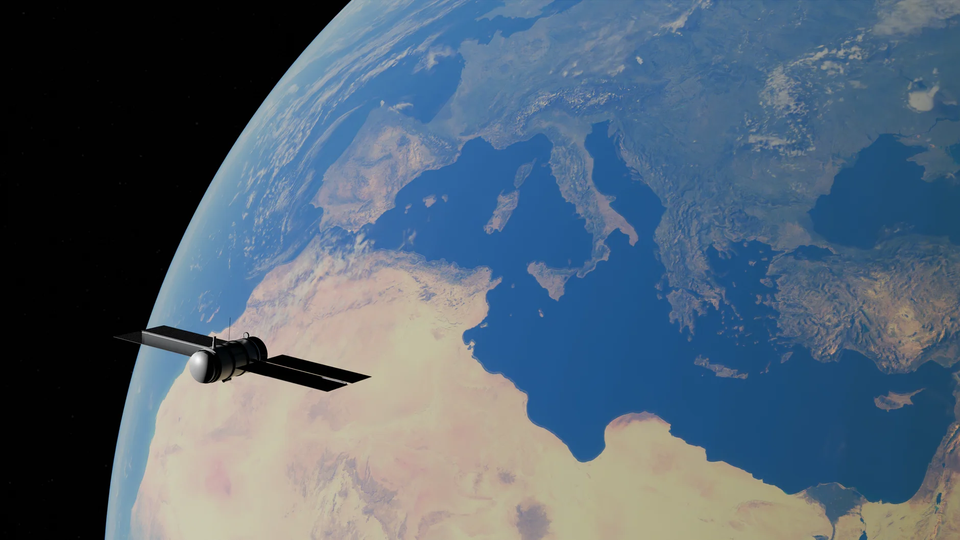
A satellite in orbit sees an area far larger than any person on the ground can. Earth-observation satellites carry cameras and sensors that record sunlight reflected from the surface, and they pass over the same places again and again. Comparing images taken weeks, months or years apart shows exactly where forest has been lost or has recovered.
This is called remote sensing: collecting information about something without touching it. Healthy leaves reflect light in a particular way, especially in the near-infrared part of the spectrum that our eyes cannot see. When trees are cut, burned or stressed, their reflection changes, and computers can spot the difference.
A record that goes back to 1972
The Landsat programme launched its first satellite on 23 July 1972. According to NASA, Landsat has built the longest continuous record of Earth’s surface from space. That is invaluable for jungles, because scientists can look back across decades and see how a region has changed.
More recently, the European Space Agency’s Sentinel-2 satellites, part of the Copernicus programme, have given sharper and more frequent views. Sentinel-2 images have 10 m pixels, and with two satellites working together it revisits the same place about every five days. For monitoring a forest, that is a big step forward: clearings and new roads can be noticed within days or weeks instead of years.
Measuring the forest from the International Space Station
Some instruments measure the forest in three dimensions. NASA’s GEDI (Global Ecosystem Dynamics Investigation) is a laser instrument mounted on the International Space Station. It launched on 5 December 2018. Its three lasers each fire 242 pulses a second, and each pulse lights up a spot about 25 m across on the ground.
Because the light bounces off leaves, branches and the ground at different heights, the returning signal reveals how tall the canopy is and how its layers are arranged. Scientists use that to estimate how much biomass, and therefore how much stored carbon, a forest holds. This links remote sensing directly to the environmental factors of rainforests, such as light, rainfall and temperature, that decide how tall and dense a forest grows.
Turning pictures into alerts
Having images is only half the job. The real power comes from software that compares new images with old ones and flags changes automatically. Monitoring systems such as the University of Maryland’s forest-loss data, shown on the Global Forest Watch website run by the World Resources Institute, do this on a global scale.
The same approach powers national warning systems. When a patch of forest suddenly disappears from a satellite image, an alert can be sent to rangers or government agencies so they can investigate while the activity may still be happening. The earlier the alert, the better the chance of stopping further damage.
What satellites cannot do
Satellites are powerful, but they have limits. A pixel 10 m wide cannot show a small animal, a single flower or the plants growing beneath the canopy. Cloud can hide the ground for weeks. And a picture does not explain why forest was lost. For those jobs, scientists bring in drones, sensors and people on the ground, which is where the next part of the story begins.
This is a good pattern to remember for the whole topic: each technology works at a different scale. Satellites cover continents, drones cover a valley, a camera trap covers a path, and a DNA sample covers a single leaf or drop of water. The best studies combine several of them.
In short, the first technology scientists reach for is the one that sees from above. In the next section we move closer, to the drones and lasers that look into the canopy itself.
Drones: exploring the forest canopy
A drone is a small remotely piloted aircraft, often with four or more propellers. Scientists like them because they fill the gap between a satellite and a person on foot. A drone can fly just above the treetops, carry a camera or other sensor, and return with detailed data in a single morning.
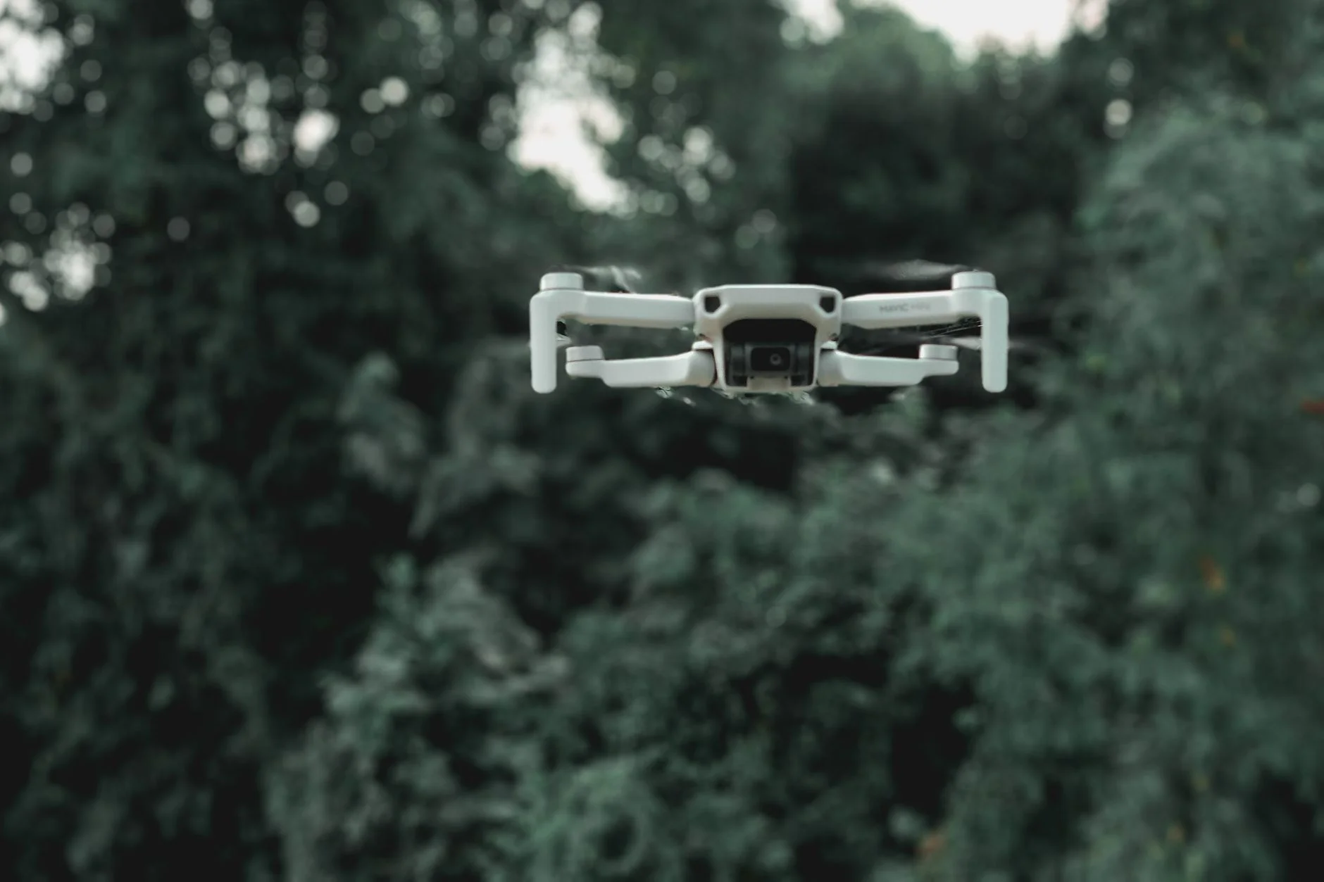
Unlike a satellite, a drone can be launched whenever the weather and the team are ready. It can fly low enough to capture individual tree crowns, so ecologists can see which trees are flowering, which have lost their leaves and which look diseased. Drones can also map rivers, clearings and landslides, survey places that are dangerous or hard to reach, and monitor reforestation projects by showing how well newly planted seedlings are growing.
Cameras and sensors on drones
The camera is only one option. Drones can carry:
- Multispectral cameras that record near-infrared light, which shows plant health that the eye cannot see.
- Thermal cameras that detect heat, useful for spotting warm-bodied animals at night or hot spots after a fire.
- Lidar scanners that fire laser pulses to build a 3D model of the forest.
- Environmental sensors that measure temperature, humidity and other conditions in the air above the canopy.
Drones have drawbacks too. Batteries limit flight time, heavy rain and wind can ground them, and thick canopy can block the radio signal to the pilot. Noise can also disturb some animals, so researchers plan flights carefully to avoid stressing wildlife.
Lidar: laser maps that see through the leaves
Lidar stands for “light detection and ranging”. A lidar instrument sends out rapid pulses of laser light and measures how long each pulse takes to bounce back. Since light travels at a known speed, the delay tells the instrument how far away each surface is.
The clever part for jungles is that some pulses are reflected by leaves at the top, while others slip through gaps and hit branches lower down or the ground itself. By collecting millions of returns, scientists can build a detailed 3D map and then digitally strip away the vegetation to reveal the shape of the land underneath. The same technology measures canopy height and the structure of the forest layers, which tells ecologists a lot about habitat quality.
distance = (speed of light × time delay) ÷ 2
The division by two is needed because the pulse travels to the surface and back again.
Lidar and the hidden Maya cities
Lidar has also changed archaeology. In 2018, a team supported by the PACUNAM Foundation reported that laser scans of more than 800 square miles of the Petén jungle in Guatemala had revealed over 60,000 Maya structures, including houses, causeways and fortifications. Many had been hidden under the forest for centuries.
In 2022, a study in the journal Nature used lidar to reveal 26 settlement sites of the Casarabe culture in the Bolivian Amazon, dating from about AD 500 to AD 1400. Two of them were very large, covering 147 and 315 hectares, with terraces and conical pyramids up to 21 m high. These discoveries show that parts of the Amazon were more heavily settled in the past than once believed, and that human history and forest history are closely connected.

Counting forest loss: what the numbers show
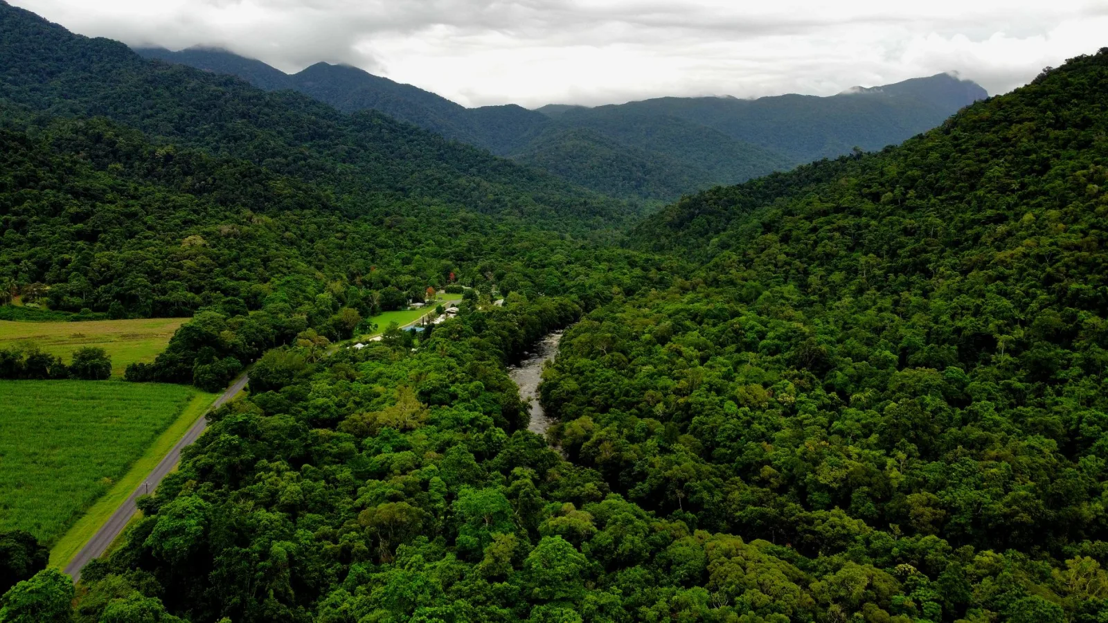
All this equipment generates data that can be used to answer a simple, urgent question: how much forest are we losing? The University of Maryland’s GLAD lab publishes yearly tree-cover loss data using satellite images, and the World Resources Institute shares them through Global Forest Watch.
The latest figures were released on 29 April 2026. They show how technology can reveal both bad news and good news, and why continued monitoring matters.
| Measure (tropical primary forest) | What the 2025 data show |
|---|---|
| Area lost in 2025 | 4.3 million hectares |
| Change from the record year, 2024 | Down 36% |
| Compared with a decade ago | Still 46% higher |
| Brazil | Non-fire primary forest loss down 41%, the lowest level on record |
| Bolivia | Second-highest primary forest loss on record |
Source: World Resources Institute / University of Maryland, released 29 April 2026.
The report’s authors described the fall as partly “a lull after an extreme fire year”, and warned that climate-driven fires are a growing threat. In other words, a good year does not mean the problem is solved. Without satellites checking every year, nobody would know whether policies were working.
Why accurate data matter
Measuring forest loss carefully lets scientists compare years fairly, check whether protected areas really work, and estimate how much carbon is released when trees are cleared or burned. It also lets journalists, campaigners and ordinary citizens check what is happening, because much of this data is free to view online.
Good data also helps target limited resources. If alerts show that most clearing happens along a particular new road, rangers can patrol there first. If the data show that a conservation area has hardly lost any forest, that is a success story worth copying elsewhere.
So far we have looked from above. Next we go down to the forest floor, where the tools are quieter and smaller, but just as clever.
Camera traps and sensors: detecting hidden wildlife
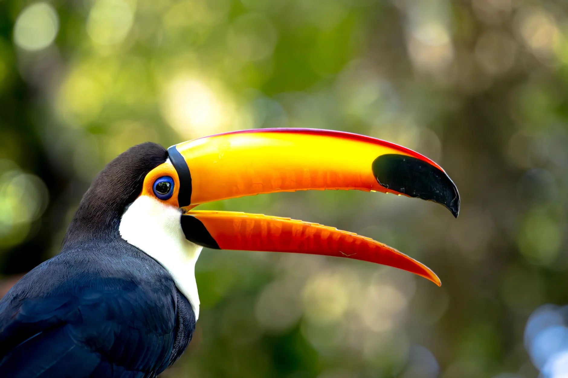
A camera trap is a weatherproof camera strapped to a tree, with a motion sensor that takes a photo or video when something warm walks past. Because it works day and night without anyone being there, it records the animals that avoid people: big cats, tapirs, forest deer and many nocturnal species.
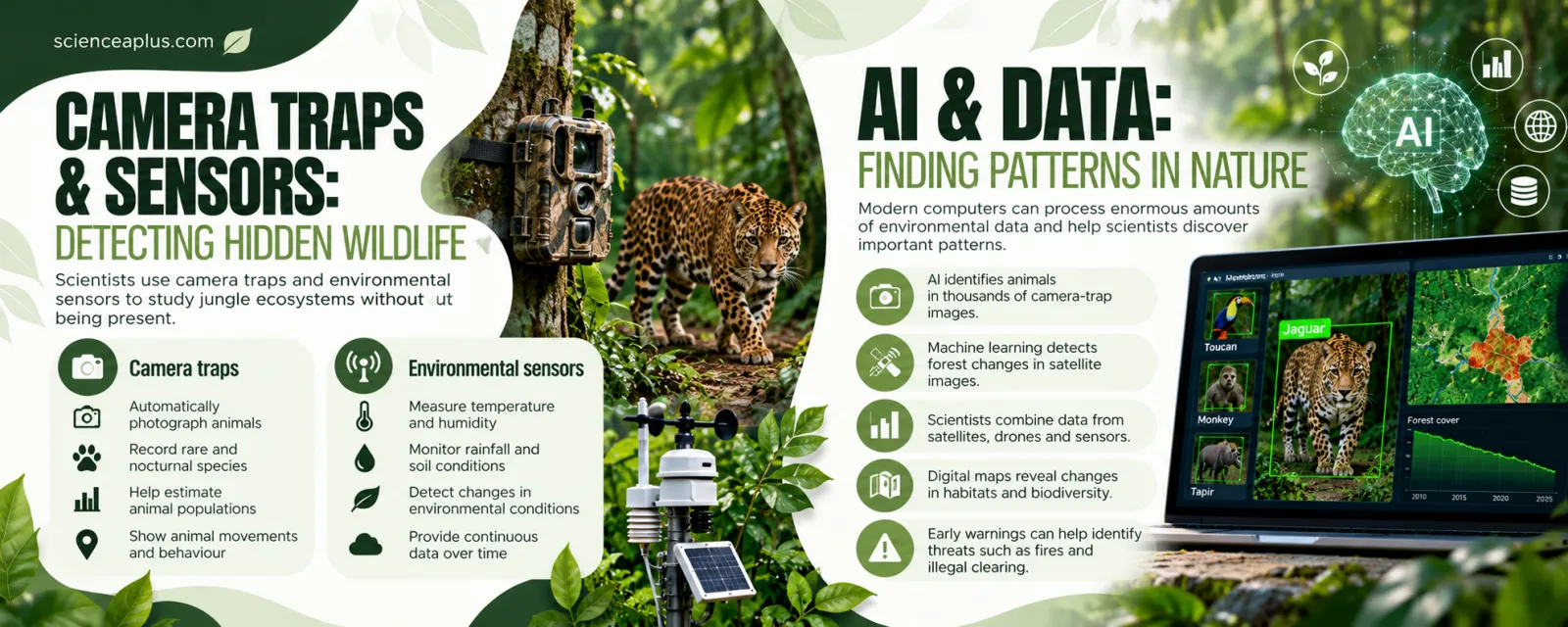
Scientists use camera-trap images to find out which species live in an area, how many individuals there are, and where and when they move. Rare animals can be recorded for the first time in years, and the same camera can run for weeks. Individual animals with distinctive markings, such as jaguars with their spot patterns, can often be recognised and counted from the photos.
Environmental sensors
Sensors do the same job for the environment. Small weather stations measure temperature, humidity, rainfall and soil conditions, often powered by a solar panel, and they log data continuously. Long, steady records show how a forest responds to a dry season, a heatwave or a change in climate, something a short visit could never capture.
Together, camera traps and sensors link animals to their surroundings. If the data show that a species only appears when the forest is humid and shaded, then scientists know which conditions to protect. This ties in with the way species depend on one another in a rainforest food web.
AI and data: finding patterns in nature
One camera trap can take thousands of photos, and many are empty because wind moved a leaf. Checking them by eye takes months. This is where artificial intelligence (AI) helps. A machine-learning model is trained on many labelled photos until it can recognise species by itself, then it sorts new images in seconds.
A well-known example is Wildlife Insights, launched in December 2019 by Conservation International and partners, including Google, the Smithsonian and WWF. It launched with more than 4.5 million camera-trap images, and its AI could classify photos up to 3,000 times faster than a person, covering 614 species at the time.
The same idea works on satellite images. Machine-learning programs learn what intact forest, new roads, burned ground and bare soil look like, and then scan huge areas for changes. Scientists can combine data from satellites, drones and sensors on a digital map to see how habitats and biodiversity are changing.
Listening to the forest
Sound is another clue. Many animals call, sing or buzz, and a recording can reveal species that are never seen. Researchers place autonomous audio recorders in the forest and use software to pick out calls of birds, frogs, monkeys and insects.
Sound technology also protects forest. Rainforest Connection converts old, recycled smartphones into solar-powered “Guardian” devices that sit in the trees. They listen for the noise of chainsaws and logging trucks, and AI sends an alert to local rangers when it hears them. According to the organisation, its Guardians are now used in dozens of countries.
DNA sequencing: identifying species from tiny samples
Jungles contain many species that science has not yet described. Looking at a creature may not be enough to tell similar species apart, particularly insects, fungi and amphibians. DNA sequencing reads the order of the chemical letters in an organism’s DNA, and that sequence works like a barcode for the species. The basics are explained in our guide to DNA, RNA and genetics.
Scientists can sequence DNA from a leaf, a feather, a hair or a drop of river water. Animals leave traces of DNA in the water or soil called environmental DNA (eDNA), so a water sample from a stream can show which fish and amphibians live upstream without catching any.
The cost fell dramatically
This is only practical because sequencing has become so cheap. The US National Human Genome Research Institute (NHGRI) tracks the cost of sequencing a human genome. In 2001 it was about $95 million. By the early 2020s it was well under $1,000. The biggest drop began in January 2008, when sequencing centres switched to “next-generation” machines. Cheaper sequencing means field scientists can afford to identify thousands of samples, and compare species to understand their evolutionary relationships.
Citizen science and wearable tools
Technology also lets ordinary people join in. On the Zooniverse website, which began with the Galaxy Zoo project in 2007, volunteers help researchers by classifying images, including camera-trap photos of wildlife, from their own computer or phone. Humans are very good at spotting unusual things that a computer may miss, and their classifications can also help train AI.
Researchers in the field wear and carry their own technology as well: GPS units to record exactly where they are, rugged tablets to log data straight into databases, and small sensors that measure conditions along their route. Tracking tags on animals, using GPS or radio signals, reveal where individuals travel, how large their territories are and which corridors link forest patches.
Working with local and Indigenous communities
Technology is most effective when it is used with local knowledge. Many Indigenous and local communities have lived in and cared for forests for generations. Phones, GPS and simple mapping apps allow them to record illegal clearing, map their territories and share information with authorities. Read more in our article on the role of Indigenous communities in jungle conservation.
Information from satellites, drones and sensors can also help communities manage forest resources sustainably, for example by showing which areas are recovering from harvesting and which need rest.
These tools do not work alone. A satellite alert might lead to a drone flight, a camera-trap survey, and DNA samples from what was found. The final section looks at how the same technologies help in other branches of science, and what the limits of technology are.
Beyond the jungle: technology across science
The tools that help scientists protect jungles are part of a much bigger story. In almost every branch of science, a new instrument has opened up something that was previously impossible to see, count or calculate. Here are a few landmarks, each with a date you can check.
- Seeing the very small. Cryo-electron microscopy freezes biological molecules and images them with electrons, revealing their 3D shapes. Jacques Dubochet, Joachim Frank and Richard Henderson won the 2017 Nobel Prize in Chemistry for developing it.
- Seeing the very far. The James Webb Space Telescope launched on 25 December 2021 and observes the universe in infrared light. Read how it works in our guide to the James Webb Space Telescope.
- Seeing inside the body. Medical scanners let doctors look at organs without surgery. See how in our explanation of MRI scanning.
- Smashing particles. The Large Hadron Collider at CERN, a ring about 27 km around, helped announce the discovery of the Higgs boson on 4 July 2012.
- Predicting proteins. The AI system AlphaFold predicts the 3D shape of proteins from their amino acid sequences. In 2024, Demis Hassabis and John Jumper shared half of the Nobel Prize in Chemistry for this, with David Baker awarded the other half for computational protein design.
Notice the pattern: better instruments, then better data, then new questions. A jungle drone and a space telescope look different, but both extend what scientists can observe.
The limits of technology
Technology is a tool, not an answer by itself. Satellites can show forest loss but cannot stop it. AI can sort photos but can be wrong. Drones and cameras cost money, need training, and produce so much data that storing and sharing it becomes a challenge. Remote areas may lack the internet connection needed to send data.
There are ethical questions too. Who owns data about a community’s land? How is information on where rare animals live kept safe from poachers? Good projects work with local people, share results openly and protect sensitive locations.
Finally, no sensor can fix the underlying causes of habitat loss. These include demand for farmland, timber and minerals. They also include climate change, which is making forests drier and more fire-prone. Technology helps us understand the problem, which is why it features in wider topics such as conservation in biology and the extinction crisis.
Test yourself: flip the cards
Describe two ways that technology helps scientists monitor a rainforest. (4 marks)
Satellites take repeated images, so changes in forest cover show where trees have been cleared (2). Camera traps record animals automatically, including nocturnal ones, so scientists can estimate which species live there without disturbing them (2).
Frequently asked questions about technology helping scientists
How is technology helping scientists protect jungles?
Satellites and drones show where forest is being cleared, camera traps and sound recorders reveal which animals live there, and AI processes the data quickly. Alerts can reach rangers sooner, and long-term records show whether conservation measures are working.
What is remote sensing in ecology?
Remote sensing means collecting information about an ecosystem from a distance, using satellites, aircraft, drones or lidar. It allows scientists to measure forest cover, canopy height and plant health over huge areas without visiting every part on foot.
How do satellites monitor deforestation?
Satellites photograph the same forest repeatedly. Software compares new images with older ones and flags places where tree cover has disappeared. Scientists then check these alerts, and the data can be shared online through tools such as Global Forest Watch.
What are camera traps used for?
Camera traps are motion-triggered cameras that photograph wildlife automatically. Scientists use them to find out which species live in an area, estimate population sizes and study behaviour, especially for shy or nocturnal animals that avoid people.
How does lidar see through trees?
Lidar fires laser pulses, and some pass through gaps in the leaves and reach the ground. By timing the returning pulses, scientists build a 3D map, from which the vegetation can be removed digitally to reveal the terrain and any hidden structures.
How does AI help conservation?
AI can identify animals in thousands of camera-trap photos, detect forest change in satellite images and listen for chainsaws in audio recordings. It saves huge amounts of time, though experts should check its results because it can sometimes be wrong.
What is environmental DNA?
Environmental DNA (eDNA) is genetic material that animals and plants leave behind in water, soil or air. Scientists collect a sample, sequence the DNA and match it to known species, which shows what lives in an area without having to see or catch it.
Can drones replace scientists in the field?
No. Drones collect detailed images and other data quickly, but they cannot identify every species, take soil samples or understand local conditions. Fieldwork, local knowledge and expert analysis are still needed to interpret what the technology records.
How can ordinary people help scientists with technology?
Anyone with a computer or phone can take part in citizen science projects. On Zooniverse, for example, volunteers classify photos and other data for real research, including wildlife images, which helps scientists analyse more than they could alone.