Location of the Great Basin Desert
The Great Basin Desert, the largest desert in the North American continent is located in the western part of USA and stretches between Rocky Mountains and Sierra Nevada, as well as eastwards to Colorado Plateau.
The Great Basin Desert is the largest desert in the North American continent. The name “Great Basin” is a traditional name for an elongated and relatively flat geographic area that covers much of the present-day state of Utah and Nevada, as well as portions of California, Idaho, Wyoming, Oregon, Colorado and Arizona. This desert is also known for its large natural areas and a variety of wildlife.
The Great Basin Desert occupies an area of about 190,000 square miles (490,000 square km). It is mostly located on high plateaus, but it also extends to low valleys. Although the Great Basin Desert officially lies within the borders of several U.S. states, much of it lies in isolated areas away from human habitation. In fact, these areas are so remote that many dry lakes or playas are not even named yet.
The desert gets less than 10 inches (250 millimeters) of rain a year. It is a land of sagebrush, salt pans, and sand dunes. It is also a land of mountains. One large mountain range after another rises out of the desert floor. The mountains include some of the highest peaks in the United States. Mount Whitney in California has an elevation of 14,495 feet (4,418 meters). Boundary Peak in Nevada has an elevation of 13,140 feet (4,007 meters). Wheeler Peak in Nevada has an elevation of 13,063 feet (3,982 meters).

Parts of the Great Basin Desert
The Great Basin Desert is divided into three parts: northern, central and southern. There are also two specific areas: The Great Salt Lake Desert (in west) and Lahontan Basin (in north-east).
The northern part of the desert lies on the north-eastern edge of the Columbia Plateau and contains high lava plateaus with volcanic peaks that rise about 4500 m above sea level. The most characteristic feature of this area are deep canyons carved by rivers such as Snake River or Salmon River.
Climate in the Great Basin Desert
The Great Basin is a semi-arid region with dry air and high altitude (2000 m). The temperature varies 32 degrees Celsius to 4 degrees Celsius and the average precipitation ranges from 230 mm to 300 mm. Precipitation usually falls as snow in winter and sudden rain showers in summer.
The Great Basin Desert is a cold winter desert. There are large areas that receive no precipitation at all for multiple years at time. The average summer highs range from 90–100 °F (32–38 °C)
The Great Basin Desert was formed by several mountain ranges that blocked moisture from reaching inland regions. It also has mountain ranges that reach over 13,000 feet in altitude. The Sierra Nevada Mountain range blocks moisture from the Pacific Ocean whereas the Rocky Mountains block moisture from the Gulf of Mexico.

Living beings in the Great Basin Desert
There are many different definitions of the “Great Basin” itself. The Great Basin Desert is defined by its animals and plants – all of which are adapted to this harsh desert environment.
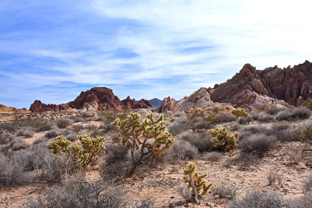
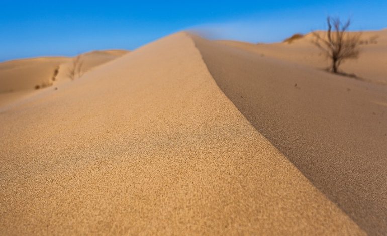
Major area of the desert is occupied by sand dunes, which are covered with sagebrush, rabbit brush, greasewood, saltbush, grasses and juniper trees.
Mostly due to its lack of moisture, the Great Basin Desert has been relatively untouched by humans. The desert receives very little water, which makes it mostly inaccessible to people except along its borders where there is just enough water to support human life. Most humans who do live in this desert reside in small towns such as Ely, Elko, Tonopah, Reno, Carson City, Battle Mountain, Winnemucca and Wendover.
Conclusion
The Great Basin Desert is the largest desert in North America and the largest cold winter desert in the world. This desert is found in the western North America.
The Great Basin Desert is not a single continuous region of land. Instead, it consists of several smaller plateaus and basins that are separated by mountains. These isolated regions share a similar climate and have similar characteristics that distinguish this desert from others.
Geologists believe that the Great Basin was once part of a larger basin that spread into Mexico and Canada. Over time erosion separated the area into three parts: the Mojave Desert in California; the Sonoran Desert in Arizona; and the Great Basin itself.


